Diagram verso, 484/1832 (verso), 1832
Diagram verso, 1832
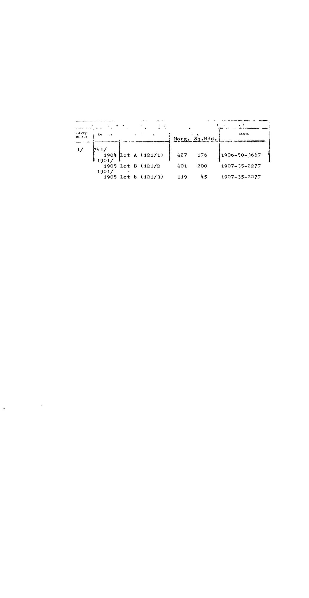
SCAN986 mistkraal 121.jpg.The record
- Type
- Diagram verso
- Diagram number
- 484/1832 (verso)
- Surveyed
- 1832
- Archive filename
- SCAN986 mistkraal 121.jpg
Citation
- Title
- S.G. Diagram 484/1832 (verso): the deductions from Mistkraal No. 121, Ladismith
- Repository
- Surveyor-General, Western Cape. Supplied by Frans in the inbox
- Reference
- Diagram 484/1832 (verso)
- Type
- SG diagram
- Retrieved
- 2026-08-18
The ground it is about
Mistkraal No. 121 (Touwsberg, Ladismith) 121
Research notes
Filed from the inbox 18 Aug 2026. NOT TIED TO A PARCEL: this farm is in the old Swellendam district and not in the Koup, so it gets a bounded set of records and no parcel row, the same treatment as Modderfontein 417 in SRC-466. Read in full on its source row.
[23 Sep 2026, reconciliation] TIED TO PAR-000278 with its front, DOC-0308.
The research behind this page, kept separate from it: dated working notes, open questions, and what is not yet settled.