Diagram verso, 388/1816 (verso), 25 January 1816
Diagram verso, 25 January 1816
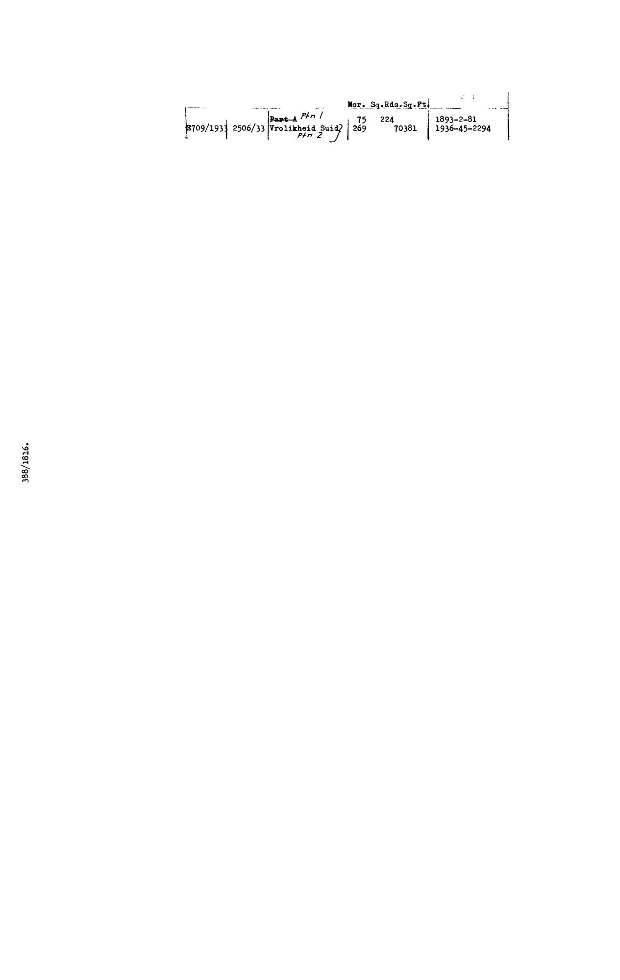
SCAN677.jpg.The record
- Type
- Diagram verso
- Diagram number
- 388/1816 (verso)
- Surveyed
- 25 January 1816
- Archive filename
- SCAN677.jpg
Citation
- Title
- Verso deduction table, SG diagram 388/1816, Vrolykheid No. 61, Tulbagh
- Repository
- Surveyor-General, Cape Town (SGCTN)
- Reference
- dgm 388/1816 verso
- Type
- SG diagram
- Retrieved
- 2026-07-31
The ground it is about
Research notes
[31 Jul 2026 inbox] Verso deduction table of DOC-0074. Records the 1933 subdivision of Vrolykheid No. 61 into two portions - Ptn 1 (75 morgen 224 sq roods) and Ptn 2, named 'Vrolikheid Suid' (269 morgen). Note the spelling: the 1816 recto writes VrolYkheid, the 1933 annotation VrolIkheid - the same drift the Koup farm shows between its 1833 diagram and its modern cadastre entry. Same-name evidence, not the same farm.
[5 Aug 2026] doc_type corrected from SG_diagram to SG_diagram_verso. This row's sg_diagram_no already carried the '(verso)' suffix, so the scan gate read it correctly, but render.DOC_TYPE_LABEL maps the two types to different public labels - the site called this back of a sheet a 'Surveyor-General diagram' - and every per-type count double-counted a front. The 31 Jul verso batch predates the convention 8 records.
The research behind this page, kept separate from it: dated working notes, open questions, and what is not yet settled.