Surveyor-General diagram, 947/1909, April 1909
Surveyor-General diagram, April 1909
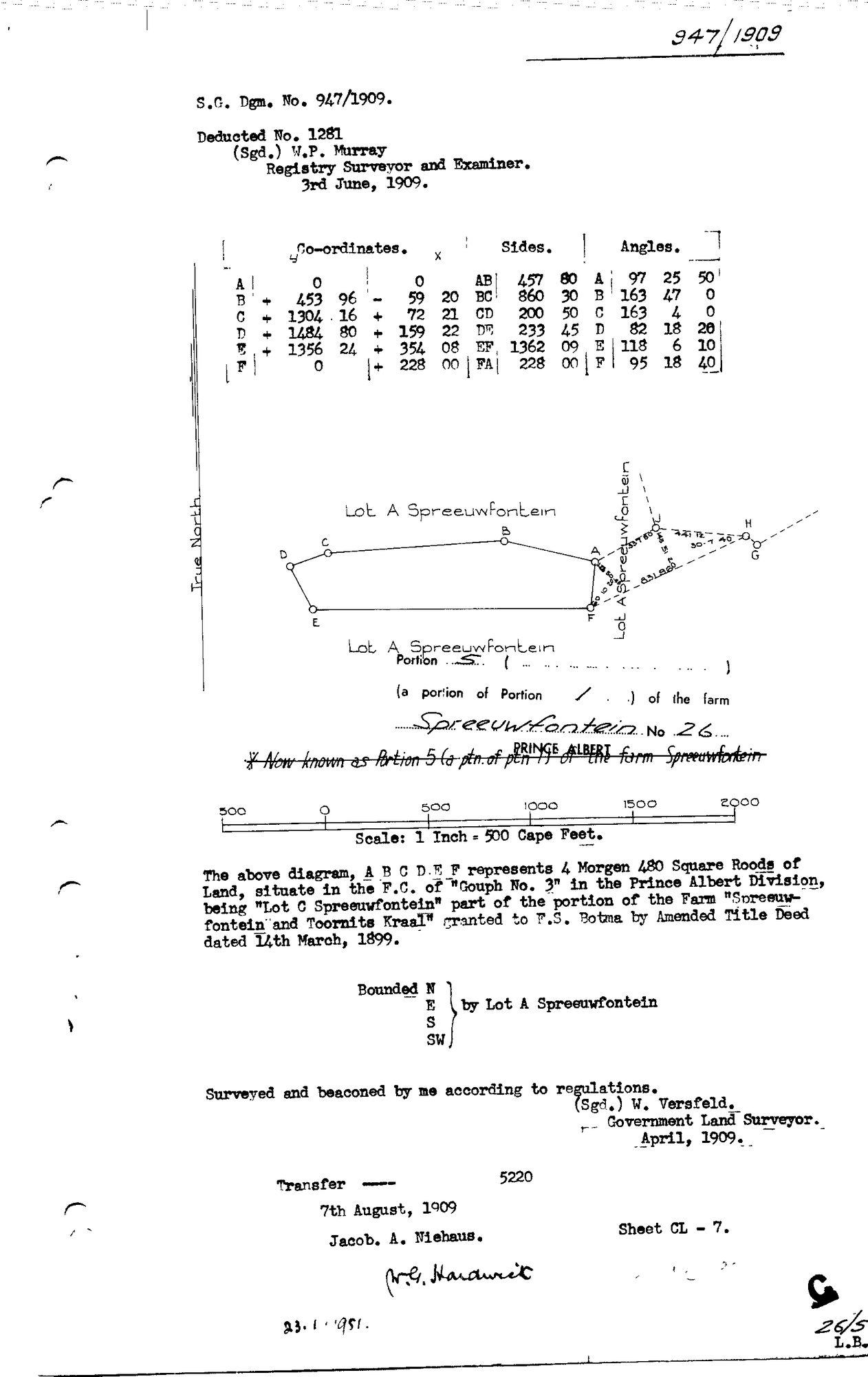
10TRNV01 (1).TIF.The record
- Type
- Surveyor-General diagram
- Diagram number
- 947/1909
- Surveyed
- April 1909
- Titled
- 7 August 1909
- Deed
- 5220
- Surveyor
- W. Versfeld
- Examiner
- W.P. Murray
- Archive filename
- 10TRNV01 (1).TIF
Citation
- Title
- Spreeufontein Portion 5 (Lot C) diagram, 1909
- Repository
- Surveyor-General
- Reference
- SG Dgm 947/1909
- Type
- SG diagram
The ground it is about
Lot C (Spreeufontein No. 26 Ptn 5)
Research notes
"Lot A Spreeuwfontein, Portion 5 (a portion of Portion 1) of the farm Spreeuwfontein No.26, Prince Albert." Body text names it "Lot C Spreeuwfontein" - the title block's "Lot A" heading is the surrounding parent (bounded N, E, S, SW by Lot A Spreeuwfontein), not this parcel's own name; a struck-through annotation confirms "Now known as Portion 5 (a ptn. of ptn 1) of the farm Spreeuwfontein." 4 morgen 480 square roods, "being 'Lot C Spreeuwfontein' part of the portion of the Farm 'Spreeuwfontein and Toornits Kraal' granted to F.S. Botma (PER-000323) by Amended Title Deed dated 14th March, 1899." Surveyed and beaconed April 1909 by W. Versfeld, Government Land Surveyor. Deducted No. 1281, examined by W.P. Murray, Registry Surveyor and Examiner, 3 June 1909. "Transfer 5220, 7th August 1909, Jacob. A. Niehaus" (PER-000322). Matches DOC-0015's own deduction table for Spreeufontein exactly ("Lot C = Ptn 5, 4mg 480sr, deed 1909-83-5220") - no discrepancy. CLOSES THE LAST UNDOCUMENTED PORTION OF SPREEUFONTEIN'S OWN SUBDIVISION SET (PAR-000024 previously had no diagram at all).
The research behind this page, kept separate from it: dated working notes, open questions, and what is not yet settled.