Diagram verso, B344/1832 (verso), 1832
Diagram verso, 1832
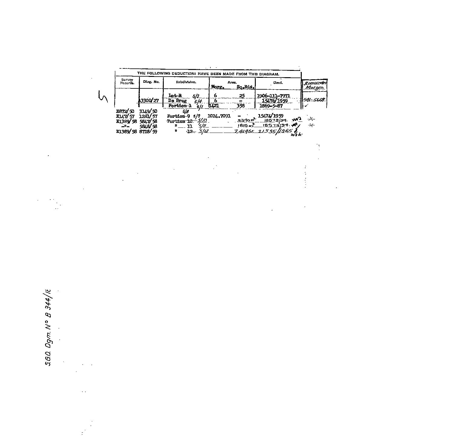
10484700.TIF.The record
- Type
- Diagram verso
- Diagram number
- B344/1832 (verso)
- Surveyed
- 1832
- Titled
- 1832
- Archive filename
- 10484700.TIF
Citation
- Title
- Four diagrams of the upper Olifants in 1832 and 1878, read for Terblans and Modder Fontyn: Roode Krans 48, Paarde Kloof 5, Kromlaagte 4, and the six 1817-1821 grants round De Rust
- Repository
- Chief Surveyor-General, esio document index (csg.dlrrd.gov.za/esio), Western Cape office SGCTN
- Reference
- Uniondale (C0770000): B339/1832 Roode Krans 48 (10628375.TIF, 10628376.TIF); B344/1832 Paarde Kloof 5 (10484694.TIF, 10484700.TIF); 1976/1878 Kromlaagte 4 (10484703.TIF, 10484704.TIF). Oudtshoorn (C0540000): 301/1817 De Rust 57; 252/1821 Doornkraal 61 with 253/1821 Kruis Rivier 69; 256/1821 Rietvalley 76; 257/1821 Welgevonden 75; 240/1821 Buffelsvalley 18. Files in _inbox/2026-09-16-csg-de-rust-modderfontein/.
- Type
- SG diagram
- Retrieved
- 2026-09-16
The ground it is about
Paarde Kloof No. 5 (Uniondale)
Research notes
Sheet 2. Paarde Kloof No. 5 (Uniondale). From the Chief Surveyor-General's esio index, fetched 16 Sep 2026.
The research behind this page, kept separate from it: dated working notes, open questions, and what is not yet settled.