Surveyor-General diagram, 240/1821, 1821
Surveyor-General diagram, 1821
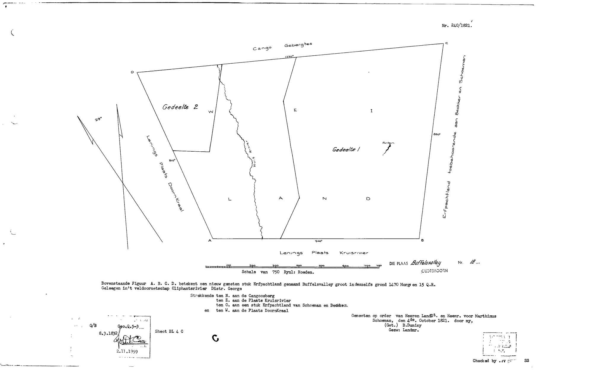
SCAN462.TIF.The record
- Type
- Surveyor-General diagram
- Diagram number
- 240/1821
- Surveyed
- 1821
- Titled
- 1821
- Archive filename
- SCAN462.TIF
Citation
- Title
- S.G. Kaart 301/1817 - Die Plaas De Rust No. 57, Oudtshoorn, with its deduction table
- Repository
- Chief Surveyor-General, Cape Town (SGCTN). Supplied by Frans via the CSG esio index.
- Reference
- S.G. Kaart Nr. 301/1817, scale 1:12000, two sheets (face and deduction table). Filed by Frans as 'oudt 57'.
- Type
- SG diagram
- Retrieved
- 2026-08-19
The ground it is about
Buffelsvalley No. 18 (Oudtshoorn) 18
Research notes
Sheet 1. Buffelsvalley No. 18 (Oudtshoorn). From the Chief Surveyor-General's esio index, fetched 16 Sep 2026.
The research behind this page, kept separate from it: dated working notes, open questions, and what is not yet settled.