Map, 1915
Map, 1915
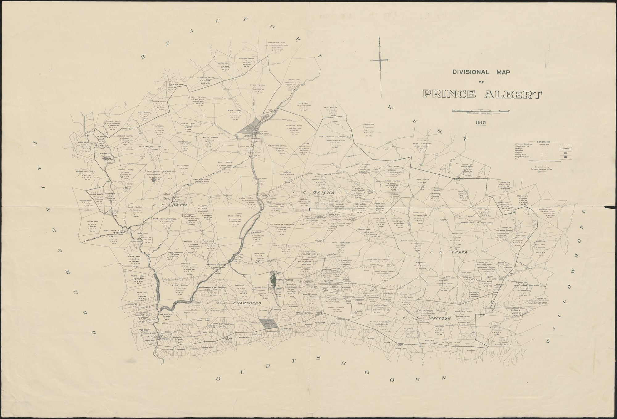
Prince Albert Divisional Map 1915 (Argief copy).jpg.The record
- Type
- Map
- Titled
- 1915
- Archive filename
- Prince Albert Divisional Map 1915 (Argief copy).jpg
Citation
- Title
- Divisional Map of Prince Albert, 1915. Compiled in the Surveyor General's Office, Cape Town. Scale 1680 Cape roods = 1 English inch
- Repository
- [TO VERIFY] An archive copy supplied by Frans Oosthuizenas the 'Argief copy'; the holding institution and its catalogue reference have not been seen
- Reference
- [TO VERIFY]
- Type
- divisional map
- Retrieved
- 2026-09-16
Research notes
Divisional Map of Prince Albert, 1915, the whole division on one sheet with every farm's registered holder, title date and quitrent reference printed on it. Transcribed label by label into data/divmap_rows.csv; the rows that name a farm this project holds appear on that farm's page.
The research behind this page, kept separate from it: dated working notes, open questions, and what is not yet settled.