Surveyor-General diagram, SG 877/1870, 1870
Surveyor-General diagram, 1870
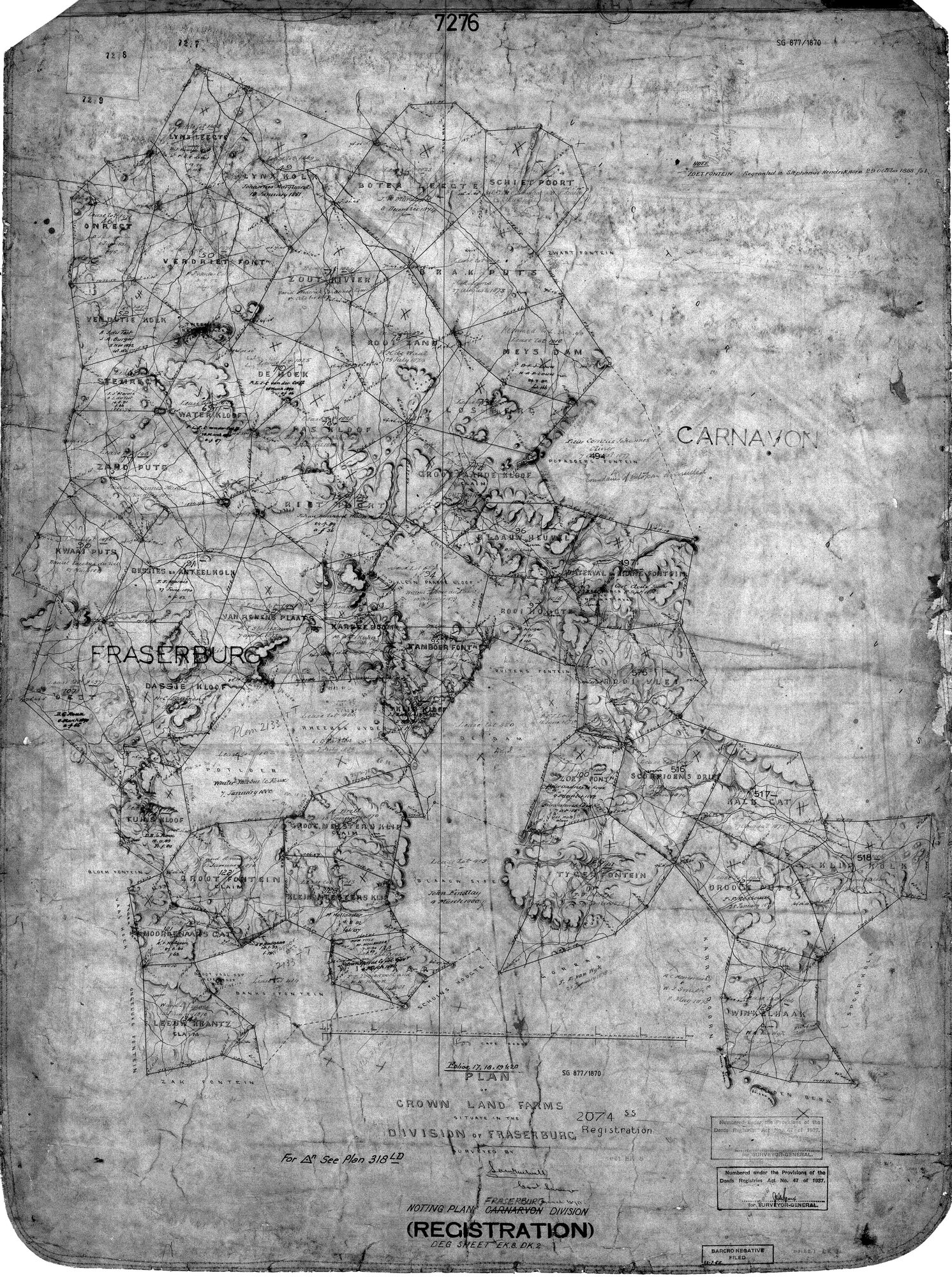
10136998 91 district.jpg.The record
- Type
- Surveyor-General diagram
- Diagram number
- SG 877/1870
- Surveyed
- 1870
- Archive filename
- 10136998 91 district.jpg
Citation
- Title
- SG 877/1870: noting plan, Crown Land Farms, Division of Fraserburg (Carnarvon boundary)
- Repository
- Chief Surveyor-General / Deeds Registries, Republic of South Africa
- Reference
- SG 877/1870, Deed Sheet EK.8.DK.2, Registration 2074, renumbered under the Deeds Registries Act No. 47 of 1937
- Type
- SG_diagram
- Retrieved
- 2026-09-06
The ground it is about
Biesies (Bissies en Anteel Kolk No. 91)
Research notes
Noting plan, Crown Land Farms, Division of Fraserburg (Carnarvon boundary), Registration 2074, Deed Sheet EK.8.DK.2. Names Bissies en Anteel Kolk's actual neighbours and annotates it 'J.J. Marais, 27 June 1890'. Renumbered under the Deeds Registries Act No. 47 of 1937; that stamp is administrative, not content.
The research behind this page, kept separate from it: dated working notes, open questions, and what is not yet settled.