Surveyor-General diagram, B416/1927, September 1925
Surveyor-General diagram, September 1925
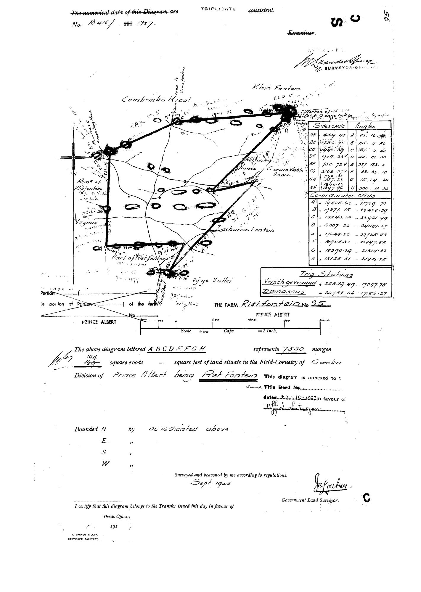
10148928.jpg.The record
- Type
- Surveyor-General diagram
- Diagram number
- B416/1927
- Surveyed
- September 1925
- Titled
- 23 October 1927
- Surveyor
- J.A. [?Couber]
- Archive filename
- 10148928.jpg
Citation
- Title
- Rietfontein No. 95 diagram B416/1927
- Repository
- Surveyor-General
- Reference
- SG Dgm B416/1927
- Type
- SG diagram
- Retrieved
- 2026-08-23
The ground it is about
Research notes
7530 morgen 164 square roods (169 struck through, 164 written above), 'situate in the Field-Cornetcy of GAMKA, Division of Prince Albert, being RIET FONTEIN'. Surveyed September 1925; title dated 23-10-1927. The grantee's signature was not confidently read and is left unread. Marked TRIPLICATE. Neighbours on the face: Combrinks Kraal, Klein Fontein, Portion of Lot 4 Gonna Vlakte, Gonna Vlakte Annex, Rietfontein Annex, Zacharias Fontein, Vyge Vallei, Part of Riet Fontein, Remainder of Klipfontein, Virginia. Trig stations Vrischgewaagd and Damascus. Three roads are drawn and named: the main road to VARSFONTEIN, the main road to Fraserburg and the main road to Prince Albert.
The research behind this page, kept separate from it: dated working notes, open questions, and what is not yet settled.