Surveyor-General diagram, 336/1832, 1832
Surveyor-General diagram, 1832
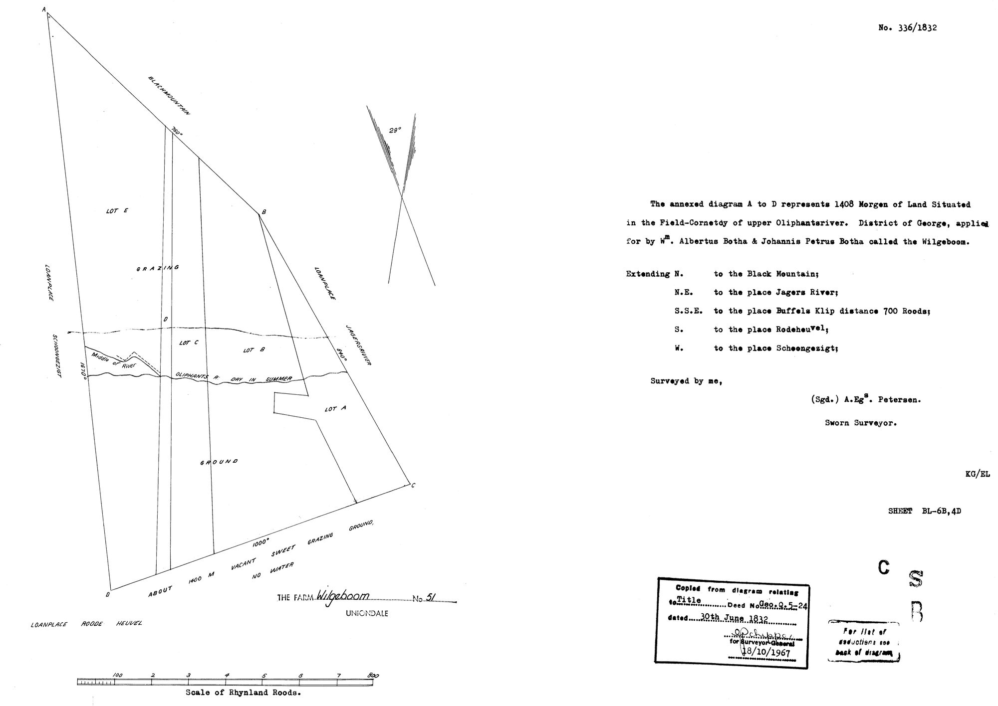
11763182.jpg.The record
- Type
- Surveyor-General diagram
- Diagram number
- 336/1832
- Surveyed
- 1832
- Archive filename
- 11763182.jpg
Citation
- Title
- Wilgeboom No. 51 diagram 336/1832
- Repository
- Surveyor-General
- Reference
- SG Dgm 336/1832
- Type
- SG diagram
- Retrieved
- 2026-08-23
The ground it is about
Research notes
'Field-Cornetcy of upper Oliphantsriver'. The English form of the ward named in Dutch on DOC-0339 and DOC-0341 - same year, same district, adjoining ground. PLC-000089.
The research behind this page, kept separate from it: dated working notes, open questions, and what is not yet settled.