Surveyor-General diagram, 82/1802, 1802
Surveyor-General diagram, 1802
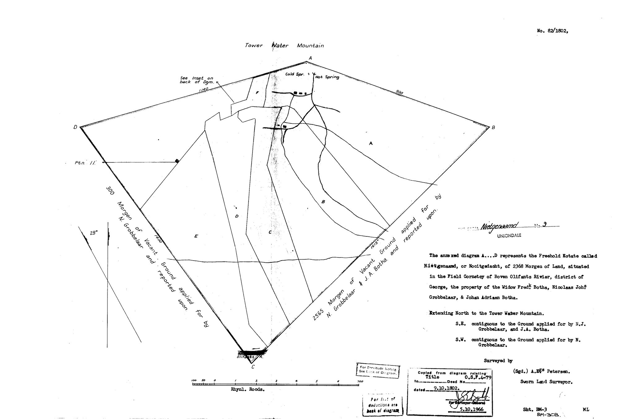
10615693.jpg.The record
- Type
- Surveyor-General diagram
- Diagram number
- 82/1802
- Surveyed
- 1802
- Archive filename
- 10615693.jpg
Citation
- Title
- Nietgenaamd (Nooitgedacht) No. 9 diagram 82/1802
- Repository
- Surveyor-General
- Reference
- SG Dgm 82/1802
- Type
- SG diagram
- Retrieved
- 2026-08-23
The ground it is about
Research notes
The farm No. 9 NIETGENAAMD, Uniondale, at the Hot Spring and the Tower Water Mountain (Toorwater). ANACHRONISM ON THE FACE: the sheet is dated 1802 and says 'district of George', but George was only proclaimed in 1811. This is a TYPED MODERN COPY, so the district line is the copyist's or a later endorsement's, not the 1802 surveyor's - in 1802 this ground lay under Swellendam. Do not read the district word as evidence of the ward in 1802.
The research behind this page, kept separate from it: dated working notes, open questions, and what is not yet settled.