Surveyor-General diagram, 631/1838, 1 November 1838
Surveyor-General diagram, 1 November 1838
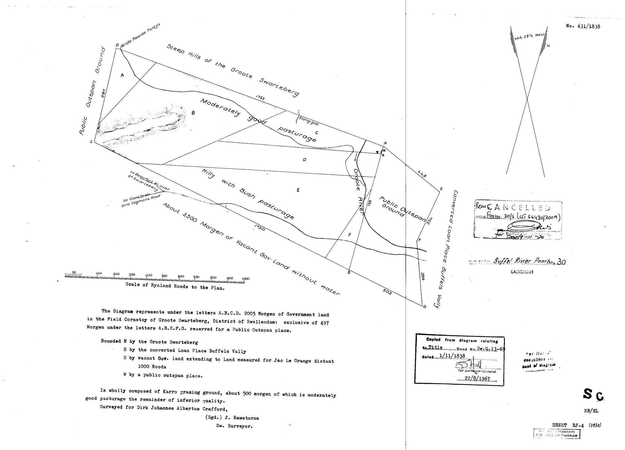
10598528.jpg.The record
- Type
- Surveyor-General diagram
- Diagram number
- 631/1838
- Surveyed
- 1 November 1838
- Titled
- 1 November 1838–20 November 2009
- Surveyor
- J. Rawstorne
- Archive filename
- 10598528.jpg
Citation
- Title
- SG diagram 631/1838 - Buffel Rivier Poort No. 30, Ladismith, surveyed for Dirk Johannes Albertus Crafford
- Repository
- Chief Surveyor-General, Cape Town (SGCTN). Supplied by Frans.
- Reference
- No. 631/1838. Copied from the diagram relating to Title Deed No. Sw.Q.13-69 dated 1 November 1838; copy certified for the Surveyor-General 22 August 1967. Sheet BJ-4 (3930). Cancelled: 'Rem. Vide Farm 30/6 (CCT 56430/2009)', 20 November 2009.
- Type
- SG diagram
- Retrieved
- 2026-08-20
The ground it is about
Buffel Rivier Poort No. 30 (Ladismith) 30
Research notes
Buffel Rivier Poort No. 30, 2005 morgen, SURVEYED FOR DIRK JOHANNES ALBERTUS CRAFFORD. The 2009 cancellation endorsement is what keeps it off the site.
The research behind this page, kept separate from it: dated working notes, open questions, and what is not yet settled.