Surveyor-General diagram, 483/1832, 1 September 1832
Surveyor-General diagram, 1 September 1832
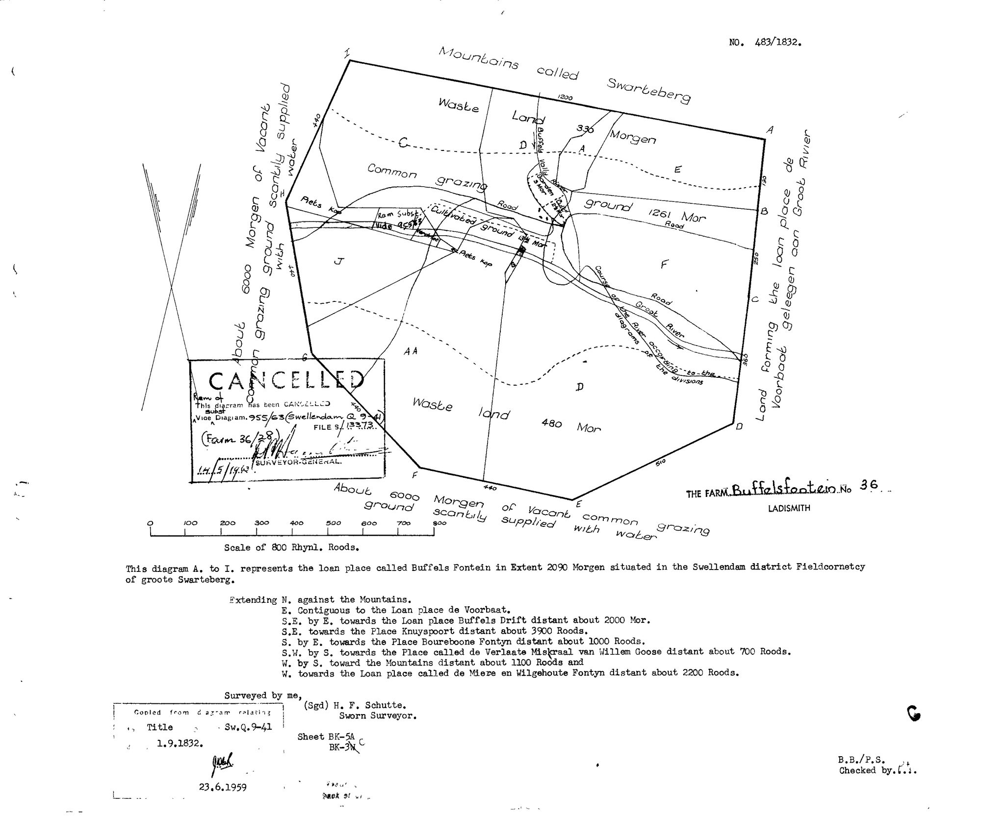
SCAN698.jpg.The record
- Type
- Surveyor-General diagram
- Diagram number
- 483/1832
- Surveyed
- 1 September 1832
- Titled
- 1 September 1832–14 May 1962
- Surveyor
- H. F. Schutte
- Archive filename
- SCAN698.jpg
Citation
- Title
- SG diagram 483/1832 - the loan place Buffels Fontein, Ladismith
- Repository
- Chief Surveyor-General, Cape Town (SGCTN). Supplied by Frans.
- Reference
- S.G. Dgm. No. 483/1832. Title Sw.Q.9-41, 1 September 1832. Sheets BK-5A, BK-3C. Copy certified 23 June 1959. Cancelled: 'Vide Diagram 955/63 (Swellendam Q 9-4), Farm 36/28', 14 May 1962.
- Type
- SG diagram
- Retrieved
- 2026-08-20
The ground it is about
Buffelsfontein No. 36 (Ladismith) 36
Research notes
The loan place Buffels Fontein, 2090 morgen, contiguous to de Voorbaat. Consecutive diagram number to Voorbaat's 482/1832 and by the same surveyor.
The research behind this page, kept separate from it: dated working notes, open questions, and what is not yet settled.