Surveyor-General diagram, 649/1838, 1 November 1838
Surveyor-General diagram, 1 November 1838
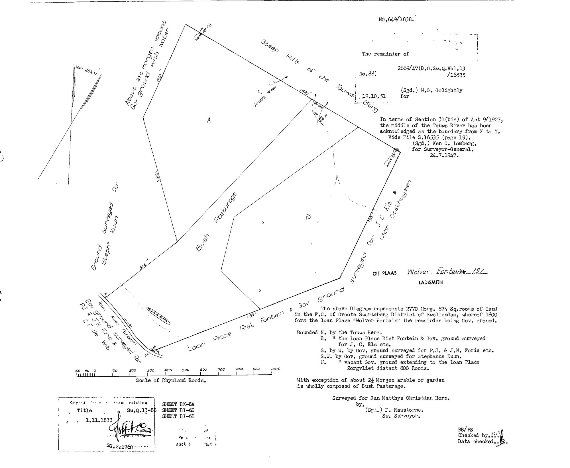
SCAN134.jpg.The record
- Type
- Surveyor-General diagram
- Diagram number
- 649/1838
- Surveyed
- 1 November 1838
- Titled
- 1 November 1838–20 February 1960
- Surveyor
- F. Rawstorne
- Archive filename
- SCAN134.jpg
Citation
- Title
- SG diagram 649/1838 - Die Plaas Wolvefontein No. 137, Ladismith
- Repository
- Chief Surveyor-General, Cape Town (SGCTN). Supplied by Frans via the CSG esio index.
- Reference
- SG diagram No. 649/1838, dated 1.11.1838, Sw.Q.13-88. Sheets BK-8A, BJ-6D, BJ-6B. Endorsements 24.7.1947 and 19.10.51; copy stamped 20.2.1960. Filed by Frans as 'ladysmith 137'.
- Type
- SG diagram
- Retrieved
- 2026-08-19
Research notes
Wolvefontein No. 137, Ladismith - 2770 morgen 574 sq roods in the FIELD-CORNETCY OF GROOTE SWARTEBERG, DISTRICT OF SWELLENDAM, of which 1800 form the loan place. Surveyed for Jan Matthys Christian Horn. THE EASTERN BOUNDARY IS LABELLED 'Gov ground surveyed for J C Els & Mar Oosthuyzen'. Late endorsements to 1960 keep it off the site for now.
The research behind this page, kept separate from it: dated working notes, open questions, and what is not yet settled.