Surveyor-General diagram, 1973/1878, 1878
Surveyor-General diagram, 1878
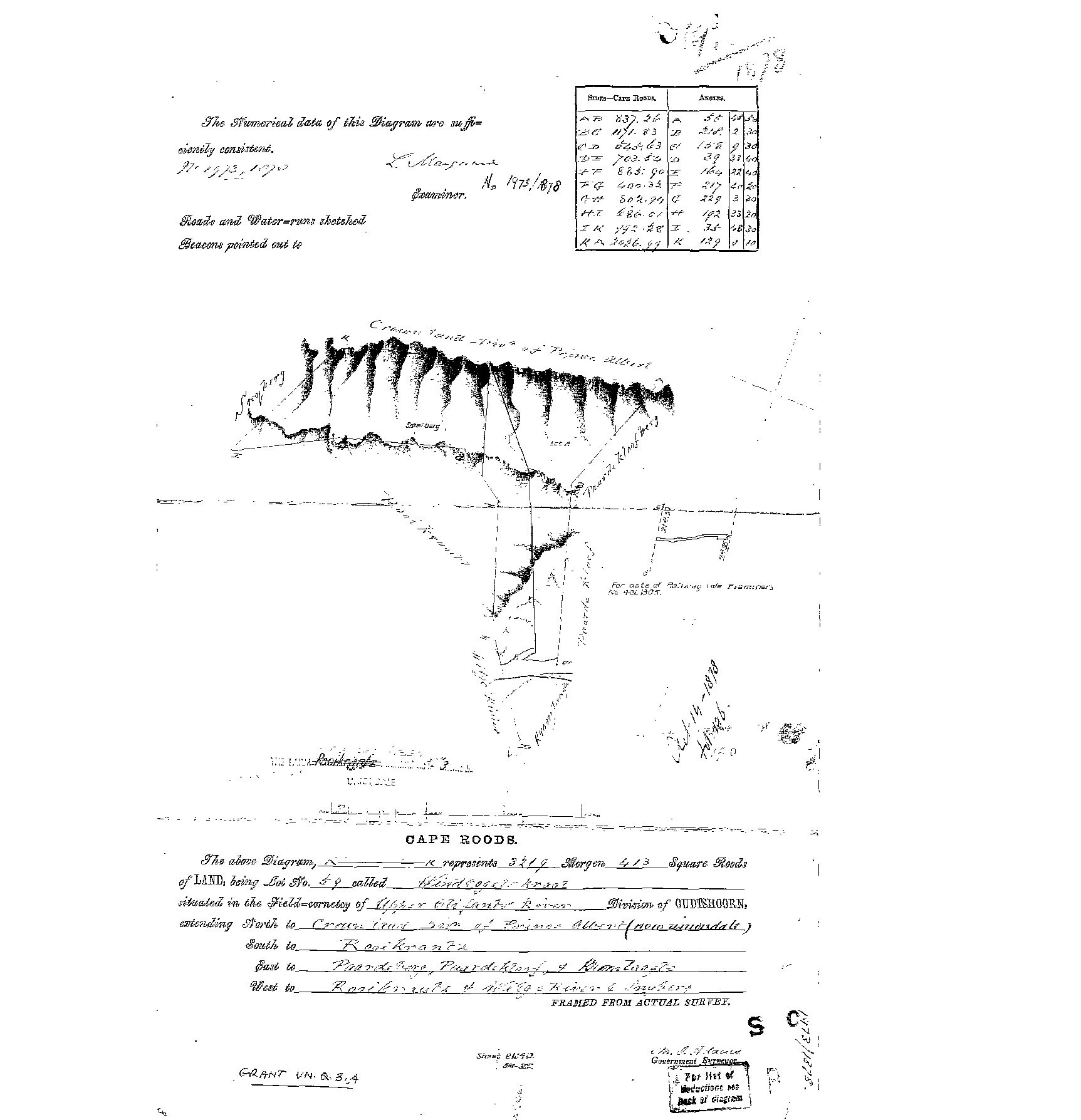
10484627.jpg.The record
- Type
- Surveyor-General diagram
- Diagram number
- 1973/1878
- Surveyed
- 1878
- Archive filename
- 10484627.jpg
Citation
- Title
- SG diagram 1973/1878 - Lot No. 59 'Windvogel Kraal', Upper Olifants River, Oudtshoorn
- Repository
- Chief Surveyor-General, Cape Town (SGCTN). Supplied by Frans via the CSG esio index.
- Reference
- SG diagram no. 1973/1878. Grant VN.Q.3.4. Sheet BL-9D / BM-2E. Filed by Frans as Uniondale 3.
- Type
- SG diagram
- Retrieved
- 2026-08-19
Research notes
Lot No. 59 'Windvogel Kraal', 3219 morgen 413 sq roods, Field-cornetcy of UPPER OLIFANTS RIVER, Division of OUDTSHOORN, extending north to Crown Land Div. of Prince Albert (now Uniondale). NO par_id YET: the ground is not in this model and Frans's hint 'Uniondale 3' is the modern farm number, which the sheet itself does not carry. [TO VERIFY]
The research behind this page, kept separate from it: dated working notes, open questions, and what is not yet settled.