survey_plan, 2440 OB sheet 1, 1877–1879
survey plan, 1877–1879
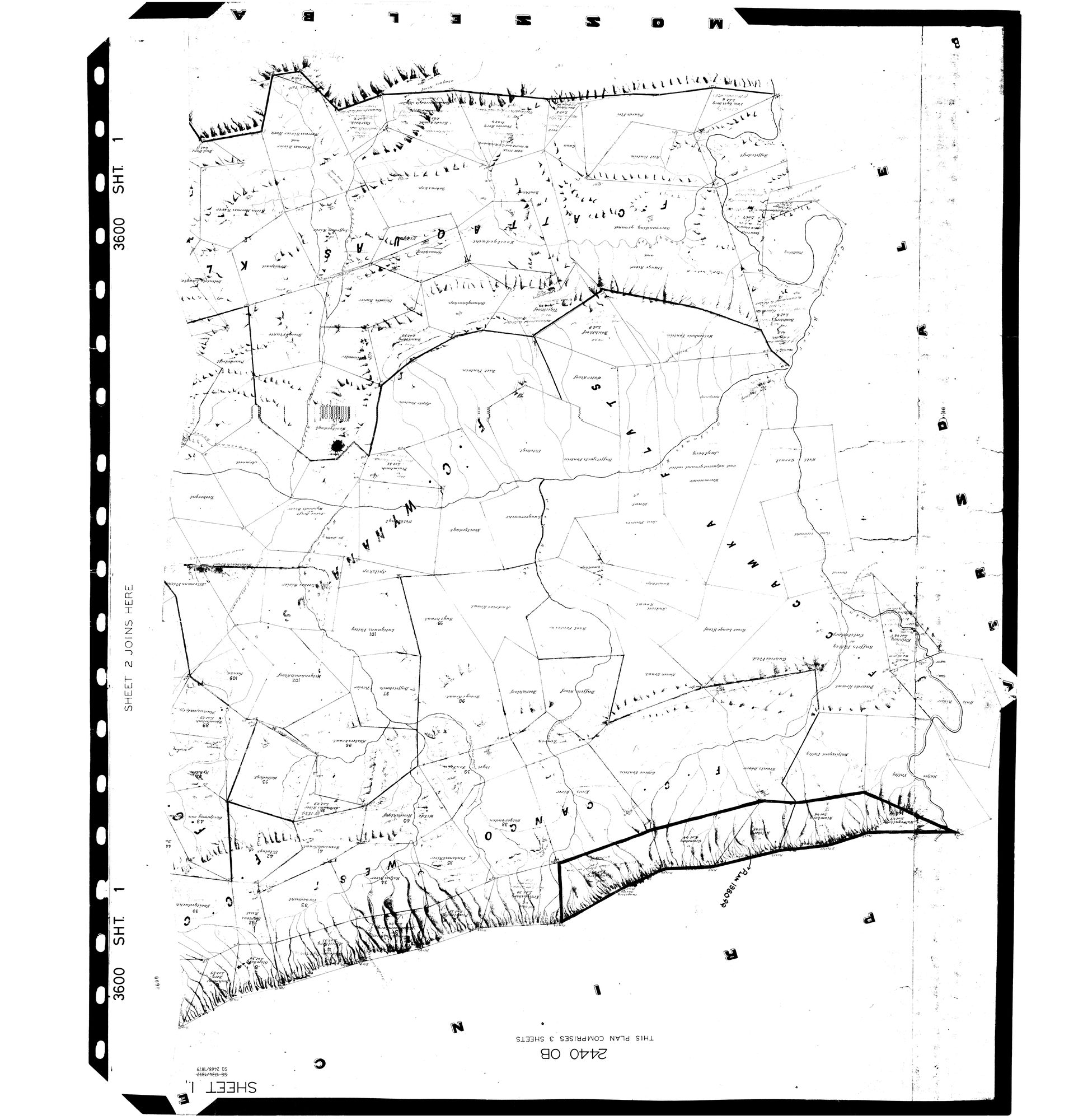
3600_S1.jpg.The record
- Type
- survey plan
- Diagram number
- 2440 OB sheet 1
- Surveyed
- 1877–1879
- Archive filename
- 3600_S1.jpg
Citation
- Title
- SG 2440 OB - Plan of the Division of Oudtshoorn, three sheets, 1877-1879
- Repository
- Surveyor-General (via Frans, inbox Original filename 3600_S1.
- Reference
- SG 2440 OB, sheets 1, 2 and 3, complete. Two survey references on the sheet: SG 2334/1877 and SG 2468/1879. 14400 x 14887 px.
- Type
- SG plan
- Retrieved
- 2026-08-19
Research notes
Sheet 1 of three. NO par_id ON PURPOSE: this is a REGIONAL plan naming scores of farms across Cango, Kammanassie and Wynands River, not the diagram of one parcel, so tying it to a single par_id would be false. It was an orphan in sources/diagrams until checks.py refused to let the site deploy over it, which is the check working - a scan with no document row is invisible to every surface and to every audit.
Scanned UPSIDE DOWN; rotate 180 before reading. TRANSCRIBED 20 Aug 2026 - the field-cornetcies and the farm names of the F.C. Lower Oliphants River are in SRC-493's notes.
The research behind this page, kept separate from it: dated working notes, open questions, and what is not yet settled.