Surveyor-General diagram, 2105/1878, 1878
Surveyor-General diagram, 1878
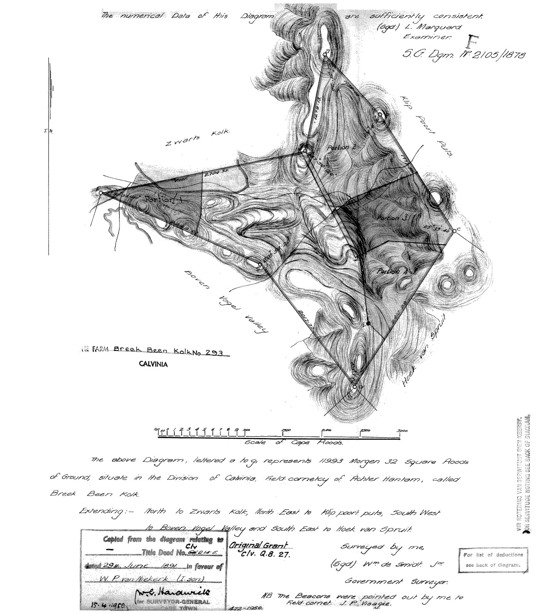
10021936 293.jpg.The record
- Type
- Surveyor-General diagram
- Diagram number
- 2105/1878
- Surveyed
- 1878
- Titled
- 29 June 1891
- Deed
- Clv. Q.14.6 (29 Jun 1891); original grant Clv. Q.8.27
- Surveyor
- Wm. de Smidt Jnr.
- Examiner
- L. Marquard
- Archive filename
- 10021936 293.jpg
Citation
- Title
- SG diagram 2105/1878 - the farm Breek Been Kolk No. 293, Calvinia
- Repository
- Surveyor-General, Cape Town (Western Cape)
- Reference
- S.G. Dgm. No. 2105/1878; original grant Clv. Q.8.27
- Type
- SG diagram
- Retrieved
- 2026-08-11
Research notes
THE FARM BREEK BEEN KOLK No. 293, CALVINIA, 11993 morgen 32 square roods, Field-cornetcy of ACHTER HANTAM. Extending north to ZWARTS KOLK, north-east to KLIP POORT PUTS, south-west to BOVEN VOGEL VALLEY, south-east to HOEK VAN SPRUIT. Portions 1 to 4 are drawn on the face. Title deed Clv. Q.14.6 of 29 June 1891 in favour of W.P. VAN NIEKERK (I. son). The sheet carries the surveyor's own note that the beacons were pointed out to FIELD-CORNET J.P. VISAGIE - the second Visagie in this batch holding an office or ground beside this family. NOT YET TIED TO A PARCEL ROW: the farm is in the Calvinia cadastre at -30.80418, 20.15392 and has no PAR row yet. LEAD-0174.
The research behind this page, kept separate from it: dated working notes, open questions, and what is not yet settled.