Surveyor-General diagram, 1929/1860, 1860
Surveyor-General diagram, 1860
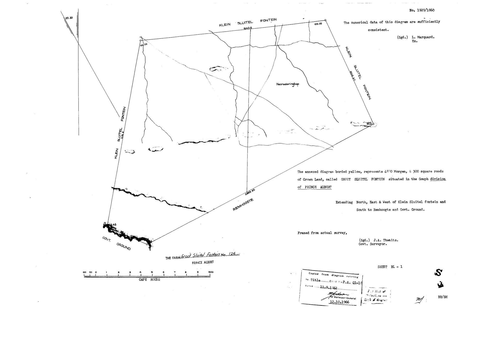
10107701.jpg.The record
- Type
- Surveyor-General diagram
- Diagram number
- 1929/1860
- Surveyed
- 1860
- Titled
- 11 September 1862
- Deed
- P.A.Q.1-18
- Surveyor
- J.A. Thwaits
- Examiner
- L. Marquard
- Archive filename
- 10107701.jpg
Citation
- Title
- Groot Sluitel Fontein No.126 original diagram (1860)
- Repository
- Surveyor-General
- Reference
- SG Dgm 1929/1860
- Type
- SG diagram
- Retrieved
- 2026-07-30
The ground it is about
Groot Sluitel Fontein No. 126 126
Research notes
Crown land 'Groot Sluitel Fontein', Gouph ward, Prince Albert. Title 11 Sep 1862 to J.A. OOSTHUIZEN and another - a family grant, and one of the few 1860s titles in this model. [31 Jul 2026] ID COLLISION REPAIRED. This diagram was assigned DOC-0089 in the 30 Jul inbox, but that id was afterwards issued again to a TANAP corpus inventory. Ids are permanent and never reused, so the diagram takes a NEW id here and the old one keeps whatever it now holds. The five SG diagrams of the Sleutelfontein group had no document rows at all until now, which is why their sources sat unreferenced and their files sat on disk with nothing pointing at them.
The research behind this page, kept separate from it: dated working notes, open questions, and what is not yet settled.