Surveyor-General diagram, 357/1833, August 1833
Surveyor-General diagram, August 1833
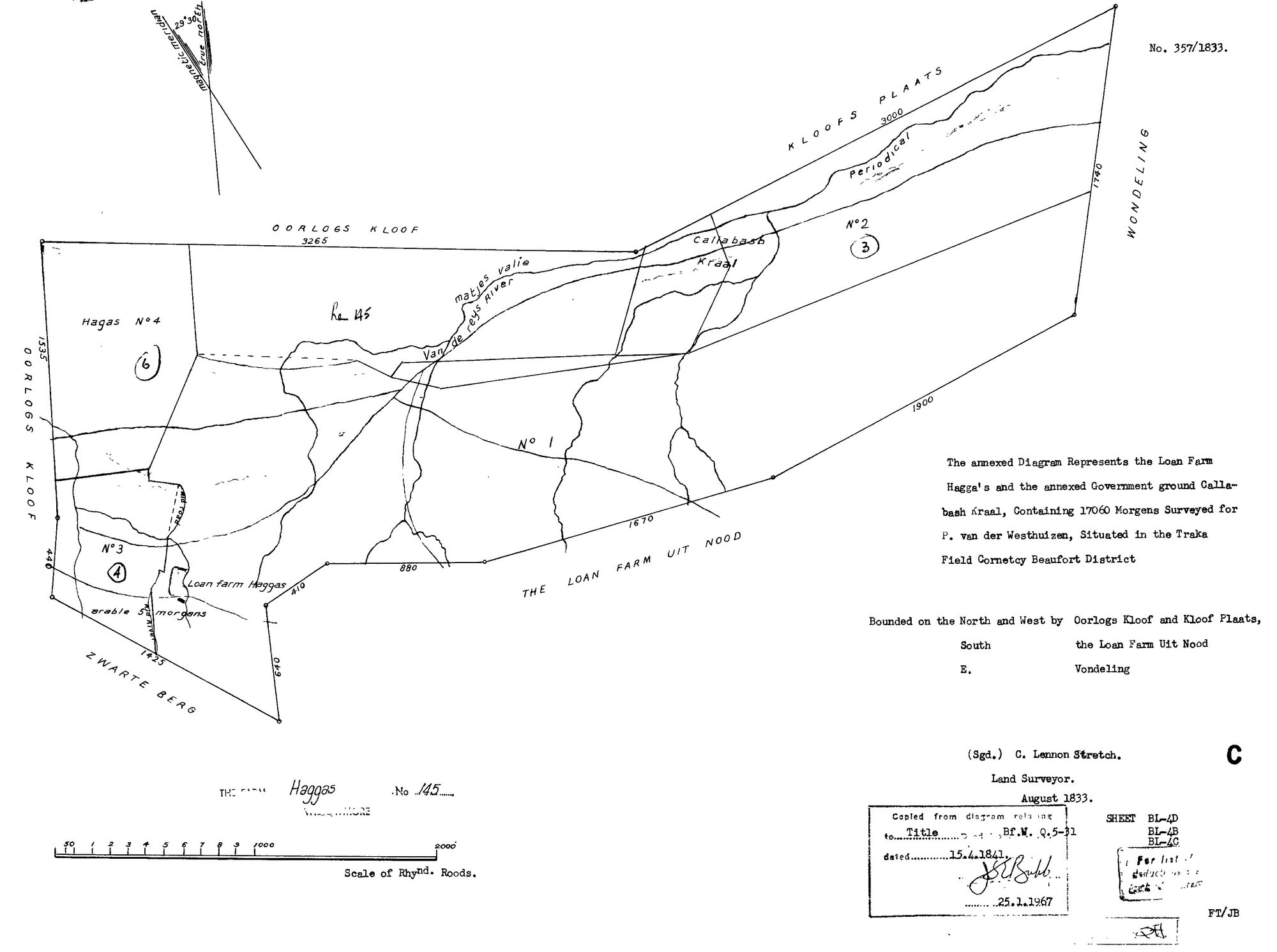
SCAN914.jpg.The record
- Type
- Surveyor-General diagram
- Diagram number
- 357/1833
- Surveyed
- August 1833
- Titled
- 15 April 1841
- Deed
- Bf.W.Q.5-31
- Surveyor
- C. Lennox Stretch
- Archive filename
- SCAN914.jpg
Citation
- Title
- SG diagram 357/1833, Haggas No. 145
- Repository
- Surveyor-General, Cape Town (SGCTN)
- Reference
- dgm 357/1833
- Type
- SG diagram
- Retrieved
- 2026-07-31
The ground it is about
Research notes
[31 Jul 2026 inbox] 357 -> 5-31 against Oorlogs Kloof's 356 -> 5-30: the THIRD consecutive pair. Frans identified the farm on the CSG: Willowmore division, EASTERN CAPE, directly east of Vrolykheid.
The research behind this page, kept separate from it: dated working notes, open questions, and what is not yet settled.