Surveyor-General diagram, 1016/1913, March 1913
Surveyor-General diagram, March 1913
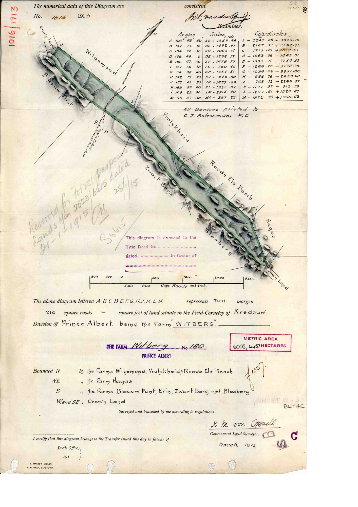
10701801.PDF.The record
- Type
- Surveyor-General diagram
- Diagram number
- 1016/1913
- Surveyed
- March 1913
- Surveyor
- K.M. von Oppell
- Archive filename
- 10701801.PDF
Citation
- Title
- SG diagram 1016/1913, Witberg No. 180, Prince Albert
- Repository
- Surveyor-General, Cape Town (SGCTN)
- Reference
- dgm 1016/1913
- Type
- SG diagram
- Retrieved
- 2026-07-31
The ground it is about
Witberg No. 180 180
Research notes
[31 Jul 2026 inbox] Witberg No. 180 - the Zwartberg ground on Vrolikheid's and Roode Els Bosch's southern boundary, reserved for forestry in 1915.
The research behind this page, kept separate from it: dated working notes, open questions, and what is not yet settled.