Surveyor-General diagram, B.876/1875, 1875
Surveyor-General diagram, 1875
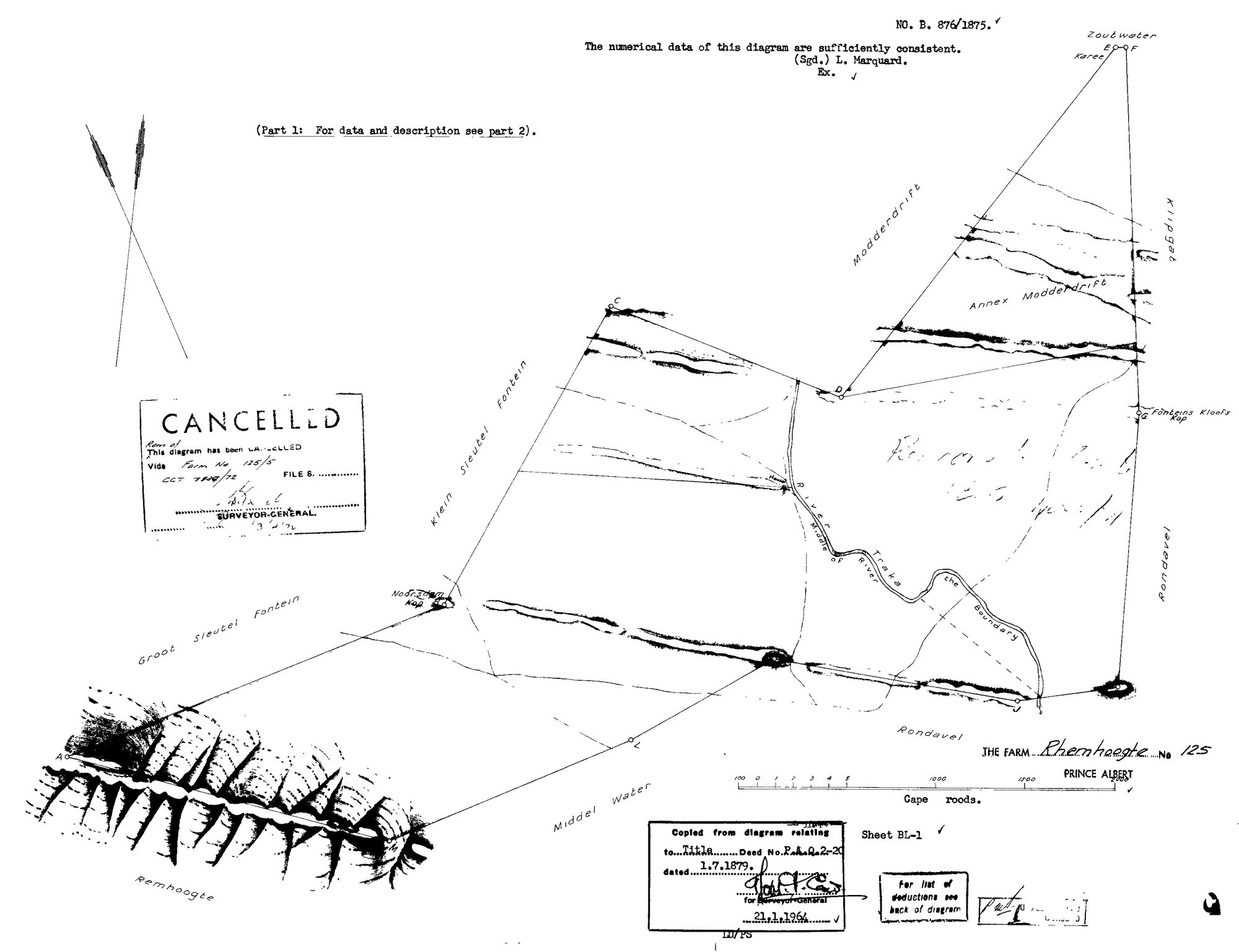
SCAN335 Rhemhoogte.jpg.The record
- Type
- Surveyor-General diagram
- Diagram number
- B.876/1875
- Surveyed
- 1875
- Titled
- 1 July 1879
- Deed
- P.A.Q.2-20
- Examiner
- L. Marquard (Exr)
- Archive filename
- SCAN335 Rhemhoogte.jpg
Citation
- Title
- Rhemhoogte No.125 farm diagram, 1875 (part 1)
- Repository
- Surveyor-General
- Reference
- SG Dgm B.876/1875
- Type
- SG diagram
The ground it is about
Research notes
"THE FARM Rhemhoogte No 125, Prince Albert" - PART 1 ONLY ("For data and description see part 2" - part 2 not yet held, so extent and grantee text remain to be read). 1964 copy-stamp: relates to Title Deed P.A.Q.2-20 dated 1.7.1879. CANCELLED: "Rem of ... vide Farm No 125/5, CCT 7856/72". Face shows: Traka River ("the Boundary"), neighbours Zoutwater, Klipgat, Modderdrift, Annex Modderdrift, Fonteins Kloofs Kop, Rondavel, Klein & Groot Sleutel Fontein, Middel Water; the Remhoogte ridge drawn along the SW. GET PART 2.
The research behind this page, kept separate from it: dated working notes, open questions, and what is not yet settled.