Surveyor-General diagram, 1056/1922, March 1922
Surveyor-General diagram, March 1922
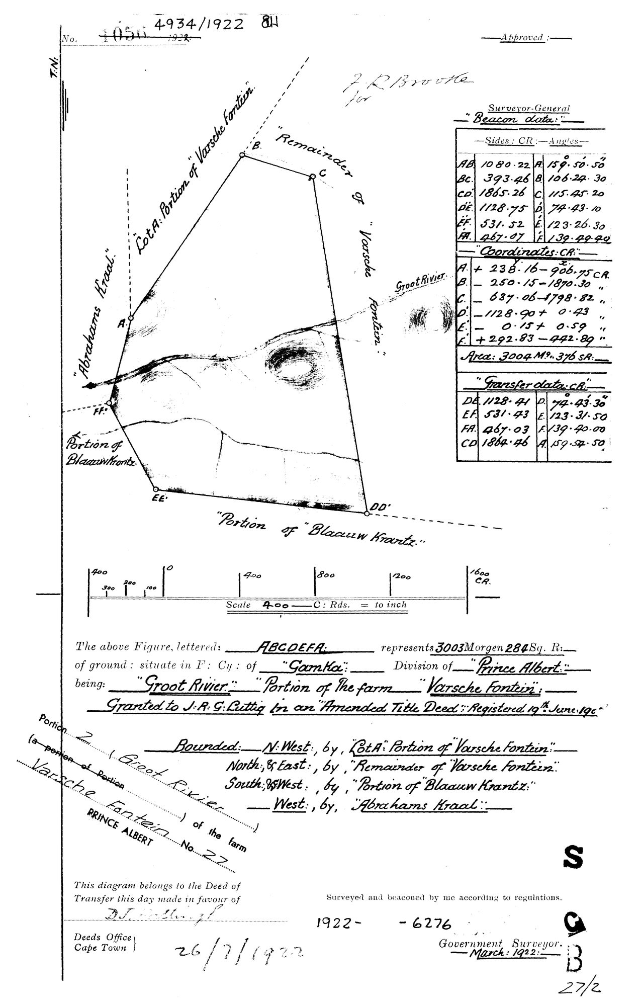
10506413 (2).TIF.The record
- Type
- Surveyor-General diagram
- Diagram number
- 1056/1922
- Surveyed
- March 1922
- Titled
- 26 July 1922
- Deed
- 4934/1922
- Archive filename
- 10506413 (2).TIF
Citation
- Title
- Varsche Fontein Portion 2 "Groot Rivier" diagram
- Repository
- Surveyor-General / Deeds e-portal
- Reference
- SG Dgm 1056/1922
- Type
- SG diagram
The ground it is about
Groot Rivier (Varsche Fontein No. 27 Ptn 2)
Research notes
Portion 2 (a portion of Portion 1), "Groot Rivier". 3003 mg 284 sq rds. Field Cornetcy of Gamka.
The research behind this page, kept separate from it: dated working notes, open questions, and what is not yet settled.